Customary land rights are the rules and procedures, usually unwritten, through which rural communities regulate land relations among their members, and with neighbouring and associated communities. In this way, millions of rural Cameroonians manage land and rights according to custom. Customary land rights include the collective rights of communities to their natural heritage and the private rights of community members to use their agricultural and residential parcels. They vary from one region to another, from one ethnic group to another, and also in time, as they are influenced by economic, social, and political changes. Community land rights in Cameroon have constantly evolved and adapted to the different periods and socio-political, economic and historical contexts that the country has experienced and still experiences today. But unlike the many countries that have recognized and legally secured customary land rights, Cameroon has experienced a gradual decline in land and forest tenure security since colonial times, when the notion of individual land rights was introduced.
Today, community land and forest tenure rights in Cameroon are deeply insecure for Indigenous People and local communities. The problem arises from Cameroon’s colonial past. Colonists imposed their norms upon the traditional system of customary land rights, creating a hybrid system. Over time, indigenous and local communities have gone from having customary rights to the land and resources they depend on to being squatters on their own land⏤or dispossessed. Cameroon recognizes customary land rights rights in its forest and mining laws, but land tenure and the limits of community lands remain unclear. Conflict is escalating, fuelled by investment in agricultural, forest and mining industries. The Government recognizes the high social cost of conflict and the risk insecure land tenure poses to peace and security, and says it wants to clarify and strengthen local land rights.
In this new political context, three civil society organizations launch an initiative with Tenure Facility support to advance the land tenure security of local communities and indigenous peoples in Cameroon, building upon existing laws. They aim to use participatory community mapping as an essential first step and springboard to legal recognition. They are the Centre for Environment and Development (CED), Forest Peoples Program (FPP), and Rainforest Foundation UK (RFUK), along with Rainbow Environment Consult, the Tenure Facility’s implementing partner.
Who are the Indigenous Peoples of Cameroon?
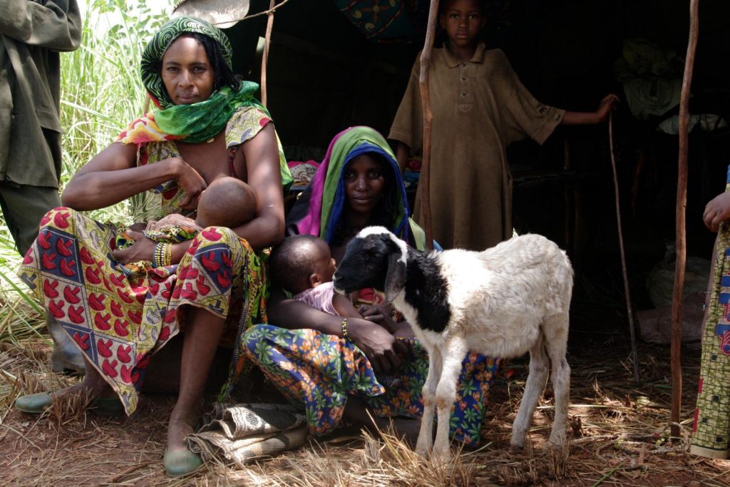
According to the International Work Group for Indigenous Affairs (IWGIA), some of Cameroon’s rural communities identify themselves as indigenous. They include hunter-gathers (Pygmies), Mbororo pastoralists, and the Kirdi mountain communities. The Constitution of the Republic of Cameroon uses the terms indigenous and minorities in its preamble; however, it is not clear to whom this refers. Nevertheless, with developments in international law, civil society and the government increasingly use the term indigenous to refer to these three groups.
1884
1884
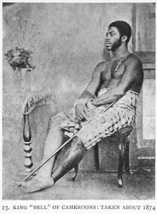
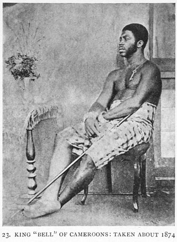
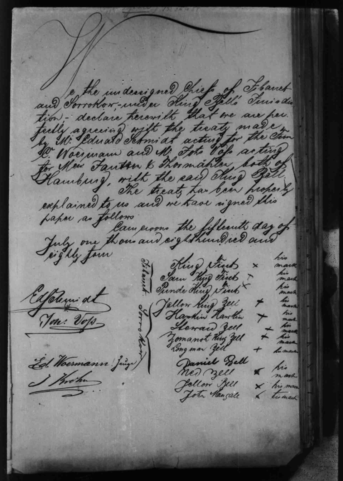
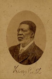
With the signing of the Germano-Douala Treaty, the Douala chiefs cede their rights of sovereignty to Germany. But they retain management of land and resources according to traditional systems. The Treaty, below, affirms that customary laws will apply.
1886
1886
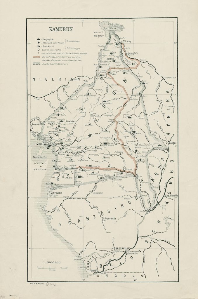
The Decree marks the beginning of a centuries-old conflict between traditional law and colonial law, and later post-colonial state law. Through the Decree, Germany takes possession of all land deemed “vacant and without master over the territory.” Yet, at the same time, the Decree recognizes customary land ownership for the benefit of “indigenous chiefs or communities.” Adoption effectively makes all ‘unoccupied’ lands possessions of the German Crown. Without completely destroying customs, the Decree creates new legal categories, which coexist with existing ones, weakening them.
1914
1914
1916
1916
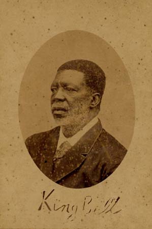
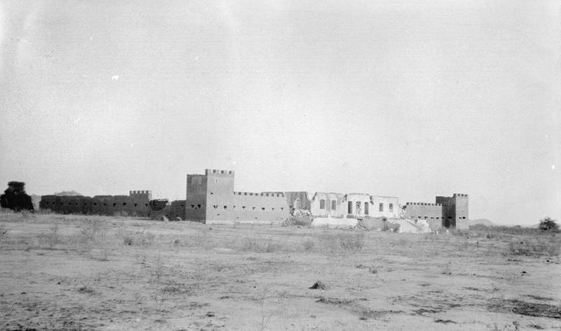
The Statutory Right of Occupancy governs rights for non-native, while the Customary Right of Occupancy governs for native. The Ordinance declares all native land to be under the control of the Governor.
1932
1932
The Decree establishes a process through which an individual native person can gain a form of title recognition called ‘land booklet,’ which is inferior to more secure forms of title. To receive it a land booklet native people must prove that they have occupied or used the land.
1960-1961
1960-1961
1974
1974
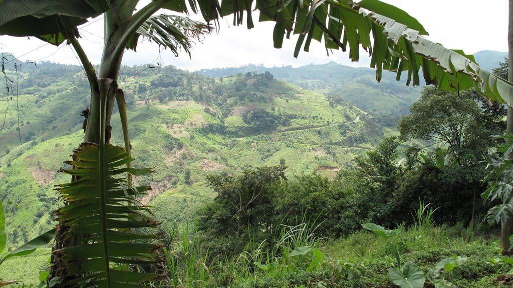
Cameroon undertakes a major land reform that lays the foundation of the current land tenure system. The law states that local communities have the right to peacefully occupy and use national lands for agriculture and as rangelands. However, registration is the sole means of gaining tenure and all unregistered land is under state control.
1994
1994
2011
2011
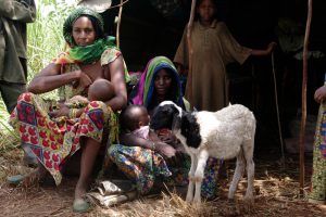
The new law sparks a surge in land-use and development decisions at all levels. Cameroon begins to develop Local Land Use and Sustainable Development Plans at the lowest ‘council’ level. Cameroon has 360 councils, each represents the interests of a number of villages and is an important link between the traditional and formal land-use systems. Development of these plans creates a window of opportunity for indigenous and local communities to demonstrate and gain official recognition of the territories and resources they claim.
2016
2016
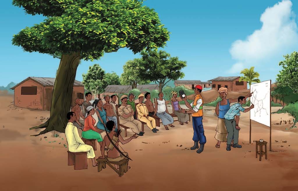
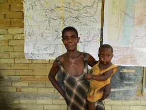
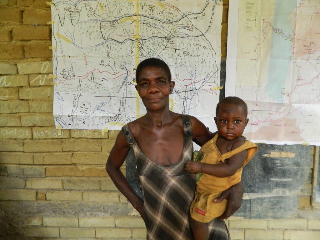
The Tenure Facility funded project ‘Community Mapping for Effective Land-Use Planning: Development of a Common Community Mapping Protocol in Cameroon’ aims to gain formal recognition of the rights of Indigenous People and local communities through the land-use and development planning process. A standard approach will lay important groundwork for explicit recognition of community rights, support ongoing policy reform, and serve as a springboard for the formal recognition of land and resource rights in Cameroon. The project also aims to leverage greater investment in community land and forest rights, increase the amount of forested land designated for Indigenous People and local communities,, help to overcome obstacles to actual ownership, and support a growing movement to clarify land tenure rights in Cameroon.
2016
2016
Projects Around Protected Areas (PAPEL)
At first, it is difficult for the method carriers to work together. They have previously worked in relative isolation, each applying its own approach to mapping designed to to capture their specific interests. For example, one organization has an interest in protecting biodiversity and another in defending the interests of Indigenous People. Consequently, their different approaches do not capture the many dimensions of community land and resource use. As the processes evolved cooperation and communication improve, although flexibility is still needed to adapt to different contexts and scales.
Says Georges Thierry Handja of RFUK: “We were isolated in our work. But, through the pilot, we were able to work with all the actors doing community mapping in Cameroon. As a result, the next map we produce will be produced in a way that the government and the national institute of cartography agree it should be done. This really gives a lot of weight to the maps. The government used to say communities can’t produce maps. Now we have agreement on how to do community mapping and we have enhanced communities’ ability to use maps to protect their rights. We have overcome the challenge.”
2016
2016
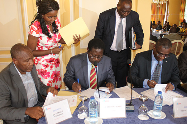
Strategy Advisory Group, which includes government representatives, NGOs, politicians, traditional leaders, and researchers, as well as representatives from extractive industries, believe the new methodology will help them avoid decisions that stir new conflicts, support conflict resolution, and reduce the high social and economic costs of conflict in Cameroon.
Cameroon’s National Institute of Cartography (NIC) agrees to archive, manage, and provide access to community maps. This will enable use by communities, government ministries, civil society, and investors. Cameroon’s National Program for Participatory Development plans to use the standard methodology when creating and updating communal development plans for local councils, thus creating opportunities for recognition of community rights. The Central Africa Network of Parliamentarians (REPAR) and the National Council of Traditional Chiefs (CNCTC) adopt the standard methodology and agree to promote its use through their action plans to improve recognition of community land rights.
Pre-colonial times
Pre-colonial times
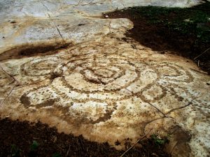
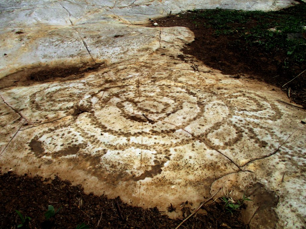
The pre-colonial clans of Cameroon see the Earth as a common good, inalienable, and even sacred. They pass land rights from generation to generation, with virtually no recognition of the concept of individual property. Individuals exercise the ‘right of enjoyment’ to satisfy their needs for food and housing. Ways of allocating land to clan members vary according to region and ethic group.
1885
1885
Through the General Act of the Berlin Conference the colonial powers occupying the coast give themselves the right to annex the hinterland as far as the border with another colonial power. The Act formalises the scramble for Africa which eliminated most existing forms of African autonomy and self-governance.
1903
1903
1916
1916
1919
1919
Britain and France administer Cameroon as one colony. The colonial land tenure system remains largely in place according to two different legislative systems. The British grant concessions for tea and coffee estates with the permission of traditional authorities. Claiming state rights over ‘unoccupied’ land, French Cameroon grants concessions for private and public development of rubber and palm plantations.
1959
1959
The law provides for all Cameroonians to have their customary land rights recognized through a procedure that leads to the awarding of proof of title called a ‘land book.’ The new law replaces the notion of ‘land vacant and without master’ or ‘unoccupied land without title’ with that of customary land ownership. Under the law, no community or individual can be forced to give up their rights, unless it is for a public utility, and this case fair compensation must be given.
1972
1972
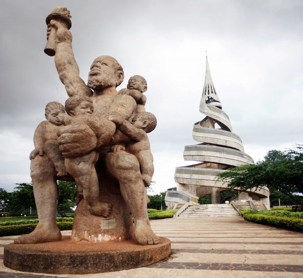
With the unification of English and French territories come opportunities to harmonize the different land tenure systems.
1976
1976
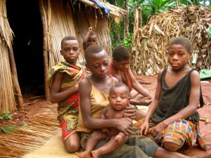
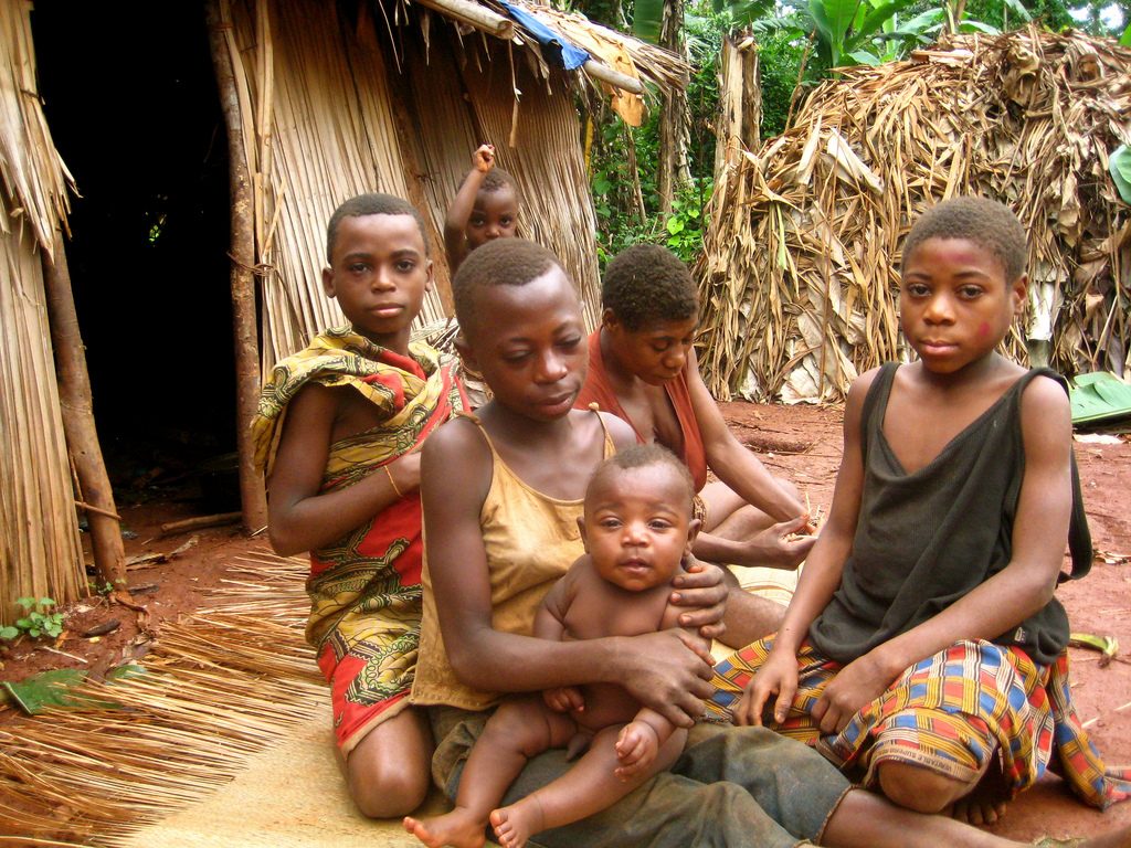
The Decree establishes the conditions and processes for registering tenure. Navigating the process requires literacy, travel and investment. Obstacles to registering land are insurmountable for forest-dwelling Indigenous Peoples such as the forest Pygmies and the nomadic cattle herders, the Mbororo.
2007
2007
General Assembly adopts UNDRIP with 144 countries voting in favour, including Cameroon.
2016
2016
The draft Forest Law and draft Land Tenure Law, await approval. The draft Land Tenure Bill introduces the concept of ‘vital’ and sacred land and spaces, where speculation is forbidden.
2016
2016
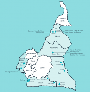
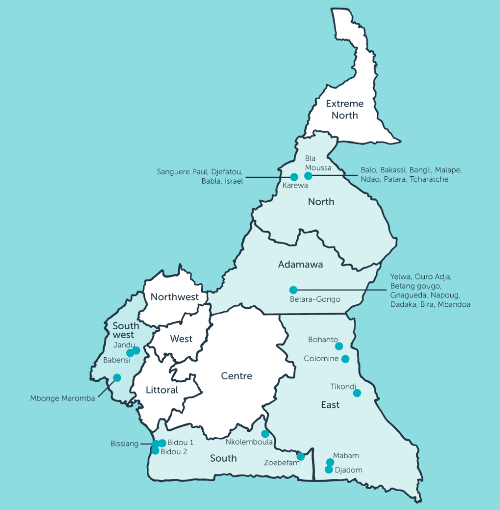
Cameroon is called the ‘Africa in miniature’ because of its geographical, ecological and cultural diversity. It has about 250 tribes living in everything from savannah to tropical rainforest. The project’s project leaders and method carriers, organizations that ‘carry the methodology to the field’ work together to design and test the methodology in different ecological and cultural environments. The project’s 14 method carriers include many of the national NGOs doing participatory mapping in Cameroon:
2016
2016
2018
2018
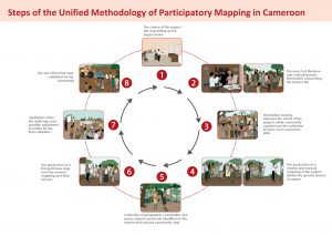
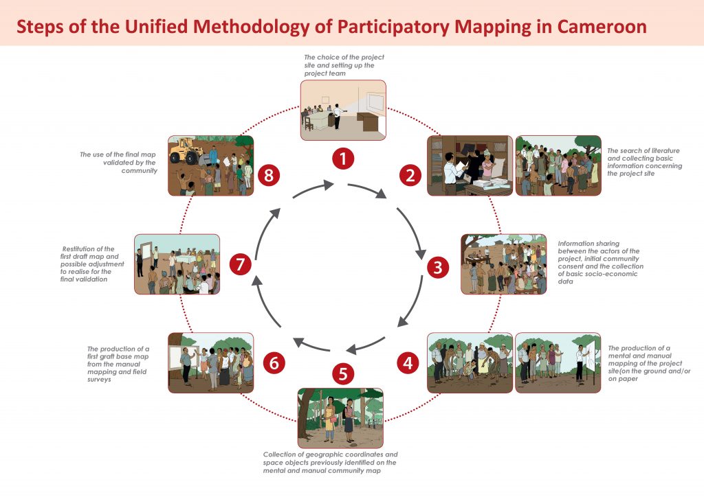
Available in English and French, the toolkit includes a guide to implementing the methodology, a policy brief on participatory mapping and land and resource law in Cameroon, and a poster explaining the process step-by-step.