Completed
From: 01/12/2015
To: 30/09/2017
Partners: Rainbow Environment Consult
Associates:
Centre for Environmental Development (CED)
Forest Peoples’ Programme (FPP)
Rainforest Foundation UK (RFUK)
Other CSOs included as partners during the project implementation
Stakeholders: Indigenous Peoples and local communities, and their organisations. Government ministries with responsibility for mapping, land tenure, natural resources, territorial planning and economic development. Traditional chiefs, local councils, companies and investors and managers of protected areas.
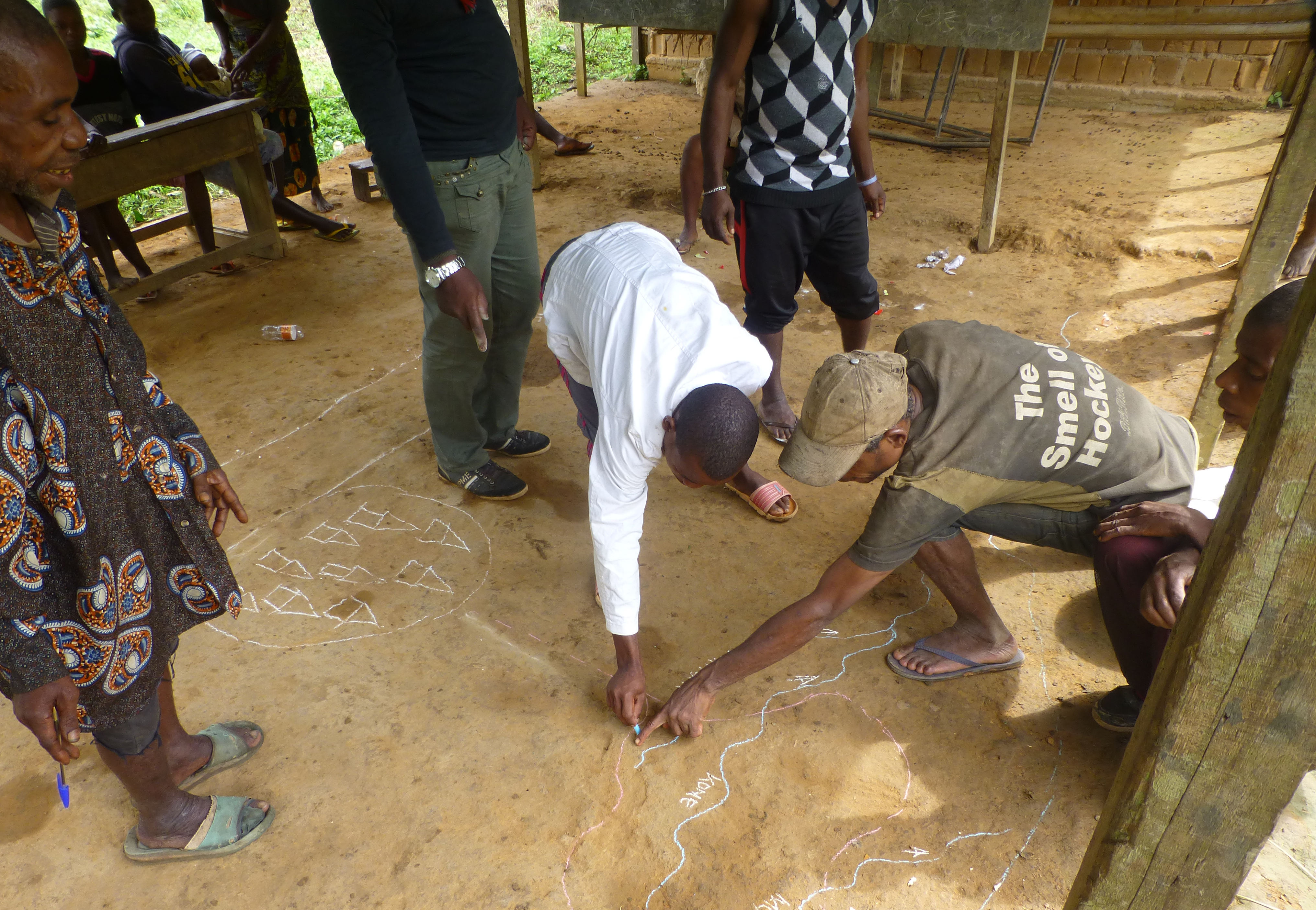
Building on existing laws, non-governmental organisations will help advance land tenure security of Indigenous Peoples and local communities in Cameroon. With Tenure Facility’s support, the consulting firm Rainbow Environment Consult, the Centre for Environment and Development (CED), Forest Peoples Programme (FPP), Rainforest Foundation United Kingdom (RFUK) will develop, test and work with the government to secure broad support for a standard methodology for participatory community mapping in Cameroon.
The methodology will lay important groundwork for the recognition of local community land and resource use rights and the reduction of escalating land and resource conflicts in Cameroon. It will also help build more collaborative relations between government, civil society and the private sector.
To read a brief overview of Cameroon, click here.
For a timeline of land and forest rights in Cameroon, click here.