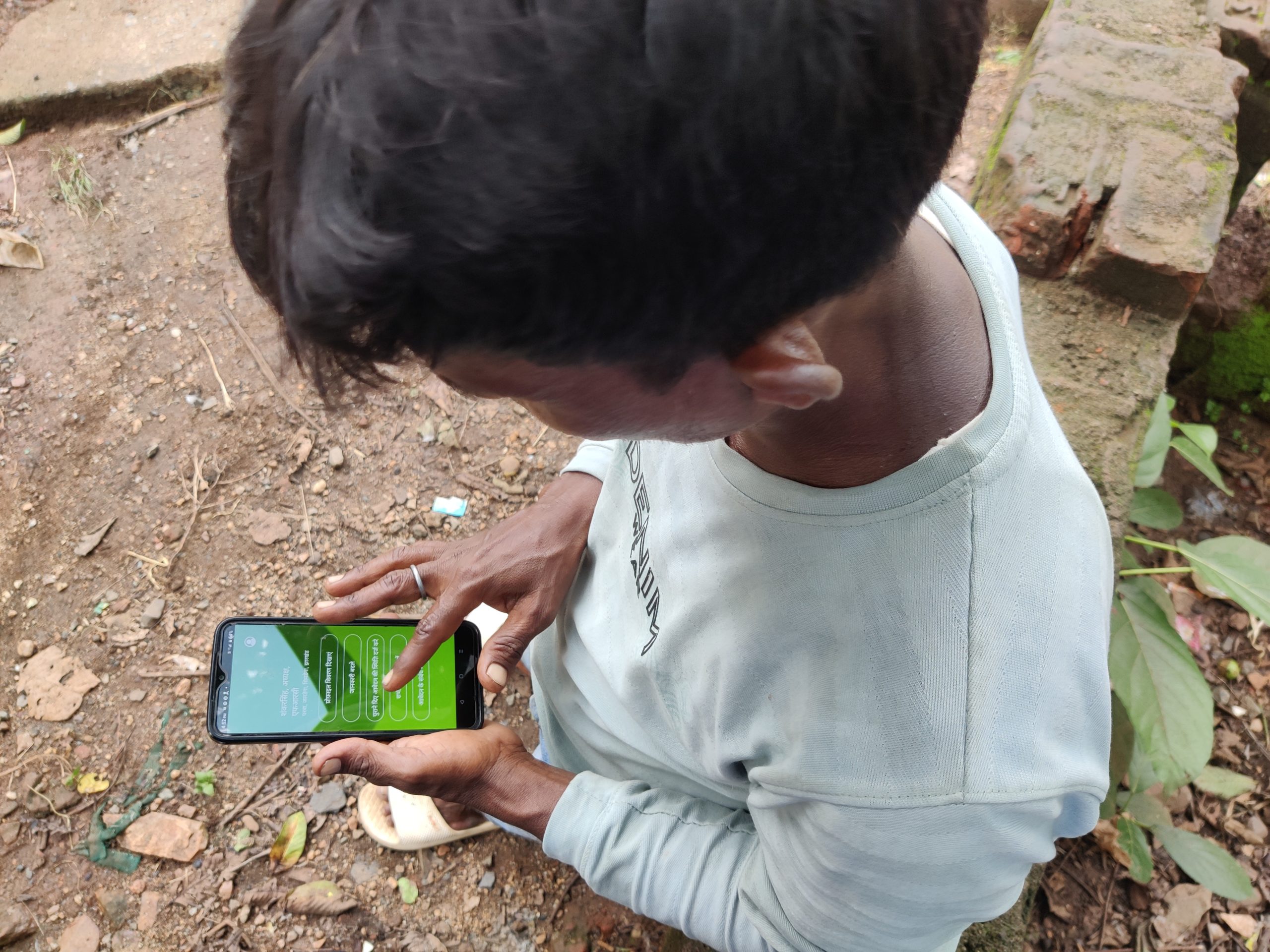
Communities across the world are harnessing satellite data, smartphone apps and other tools to demarcate their lands and accelerate recognition of their tenure rights. For example, in India, Vasundhara’s Forest Rights Atlases use satellite imagery, local data, and field verification to identify villages, which has already enabled thousands of forest-dependent communities in Odisha State to begin the process of securing legal rights to their land.
Use of these technologies is enabling communities to become more closely engaged in these processes, taking on a more protagonist role while building trust with partners and strengthening the accountability of government agencies. Mapping is led and owned by communities themselves, with Free, Prior and Informed Consent at the centre.
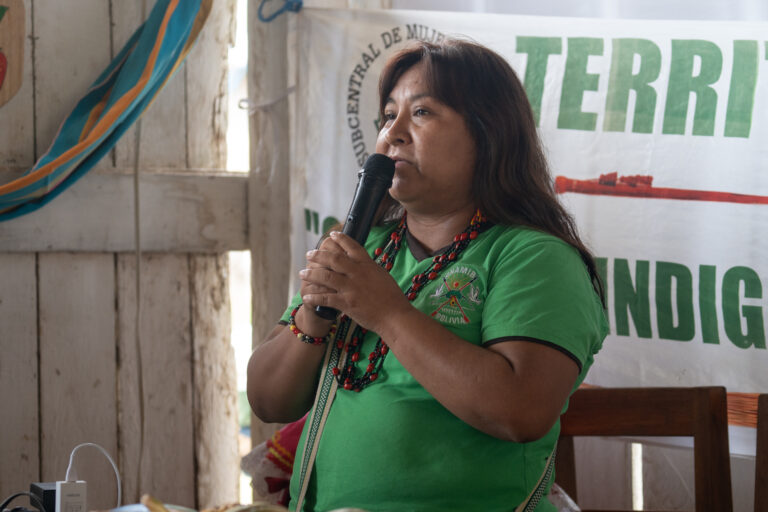
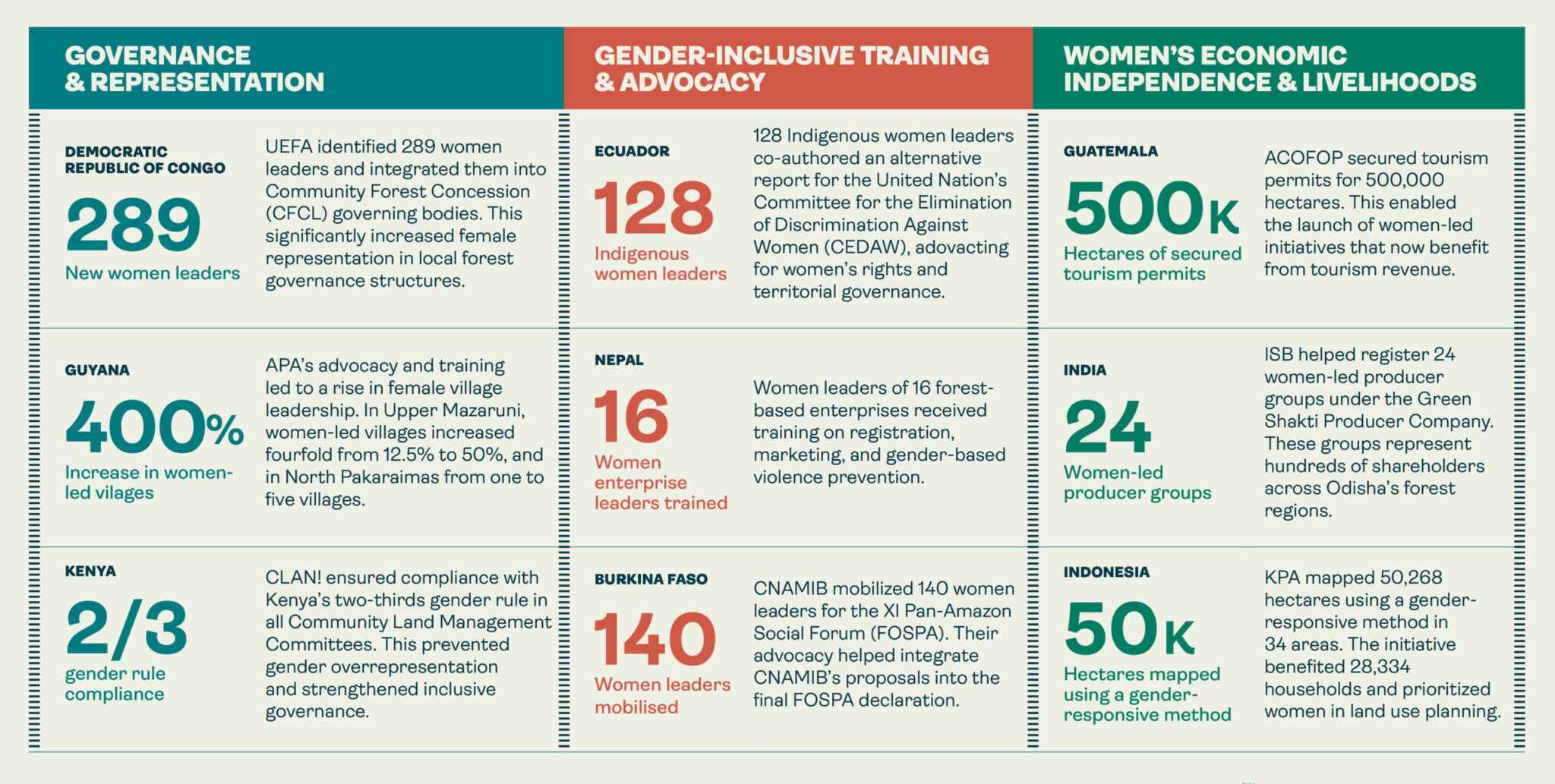
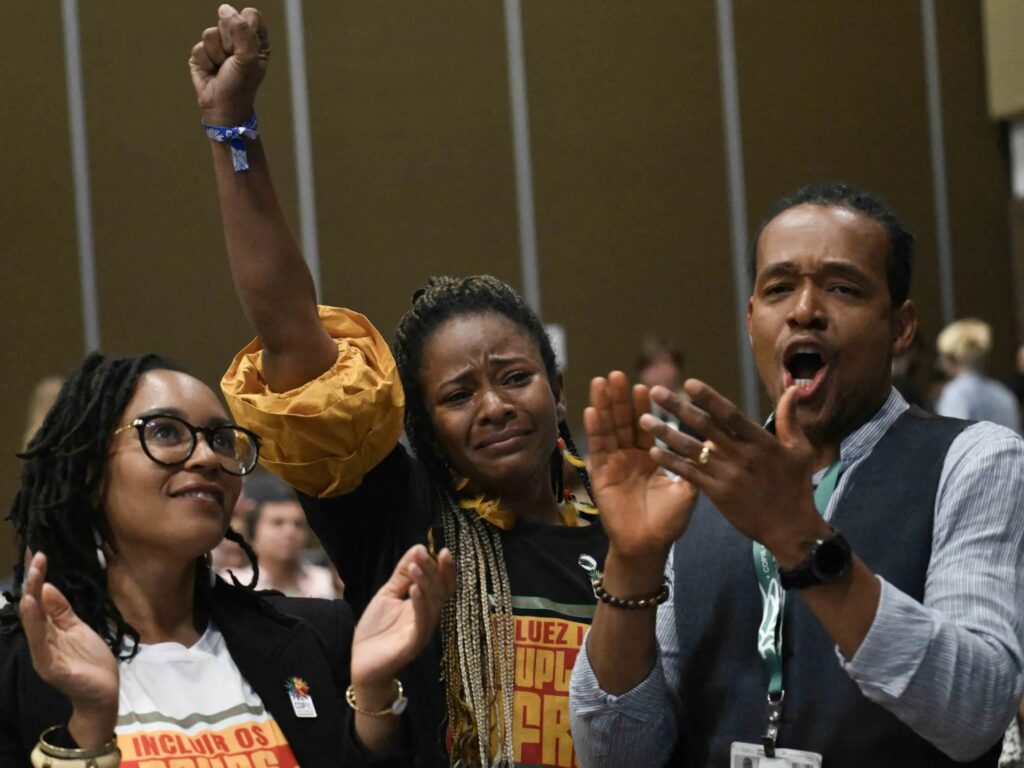
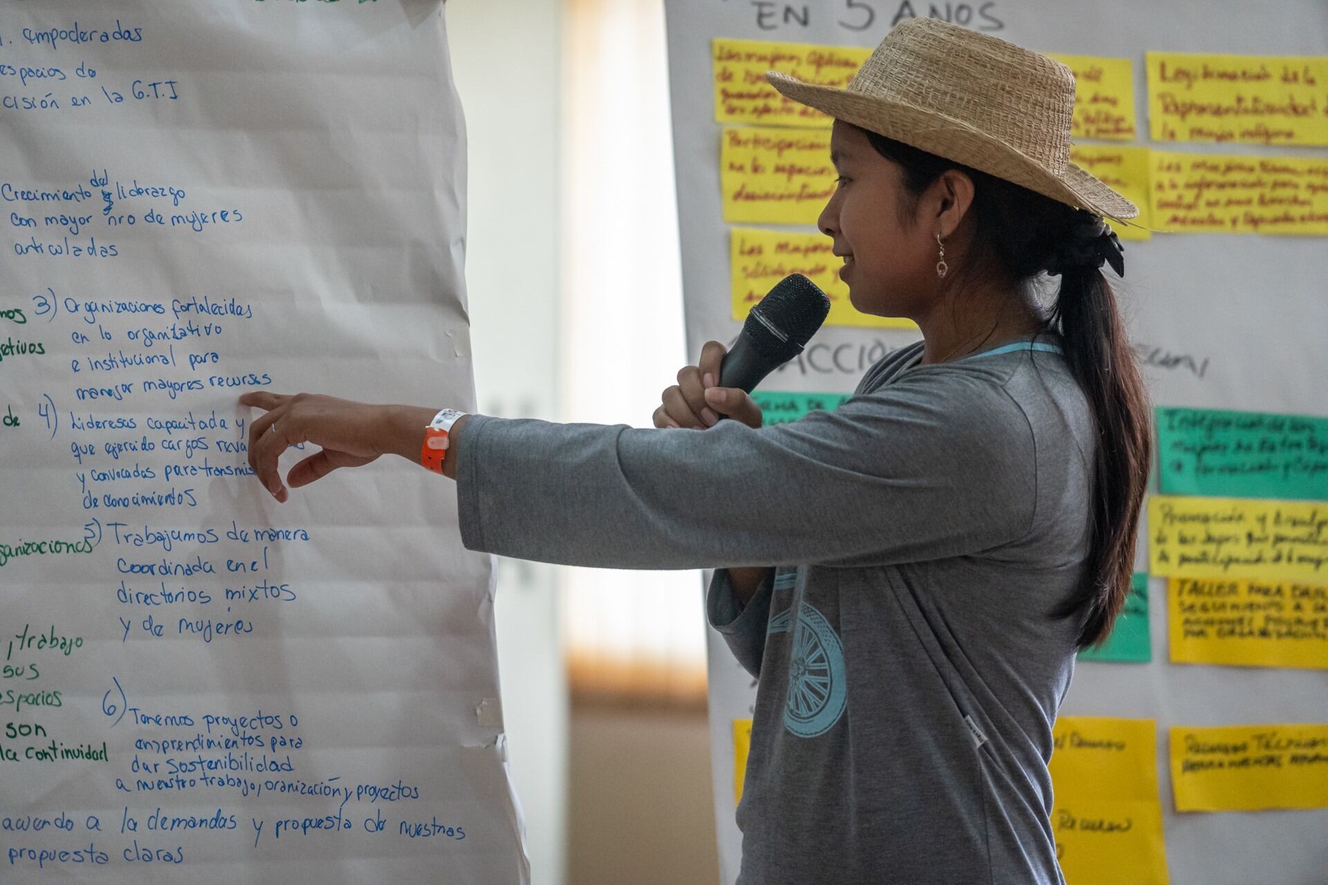 Inclusivity and gender equity in land rights and governance are woven into every project we support, and a growing number of them are implemented by women’s organisations.